Search Results for: ito a

A Dynamic Landsat Derived Normalized Difference Vegetation Index (NDVI) product for the conterminous United States

Satellite derived vegetation indices (VIs) are broadly used in ecological research, ecosystem modeling, and land surface monitoring. The Normalized Difference Vegetation Index (NDVI), perhaps the most utilized VI, has countless applications across ecology, forestry, agriculture, wildlife, biodiversity, and other disciplines. Calculating satellite derived NDVI is not always straight-forward, however, as […]
Estimation of plant area index and phenological transition dates from digital repeat photography and radiometric approaches in a hardwood forest in the Northeastern United States

Long-term, continuous digital camera imagery and tower-based radiometric monitoring were conducted at a representative hardwood forest site in the Northeastern United States, part of the AmeriFlux network. In this study, the phenological metrics of the leaf area index (LAI), plant area index (PAI) and associated transition dates (e.g., timing of […]

On the relationship between continuous measures of canopy greenness derived using near-surface remote sensing and satellite-derived vegetation products

Over the last two decades, satellite-derived estimates of biophysical variables have been increasingly used in operational services, requiring quantification of their accuracy and uncertainty. Evaluating satellite-derived vegetation products is challenging due to their moderate spatial resolution, the heterogeneity of the terrestrial landscape, and difficulties in adequately characterising spatial and temporal […]

Intercomparison of phenological transition dates derived from the PhenoCam Dataset V1.0 and MODIS satellite remote sensing

Phenology is a valuable diagnostic of ecosystem health, and has applications to environmental monitoring and management. Here, we conduct an intercomparison analysis using phenological transition dates derived from near-surface PhenoCam imagery and MODIS satellite remote sensing. We used approximately 600 site-years of data, from 128 camera sites covering a wide […]

leshyk illustration carbon management

Carbon protection and fire risk reduction: toward a full accounting of forest carbon offsets

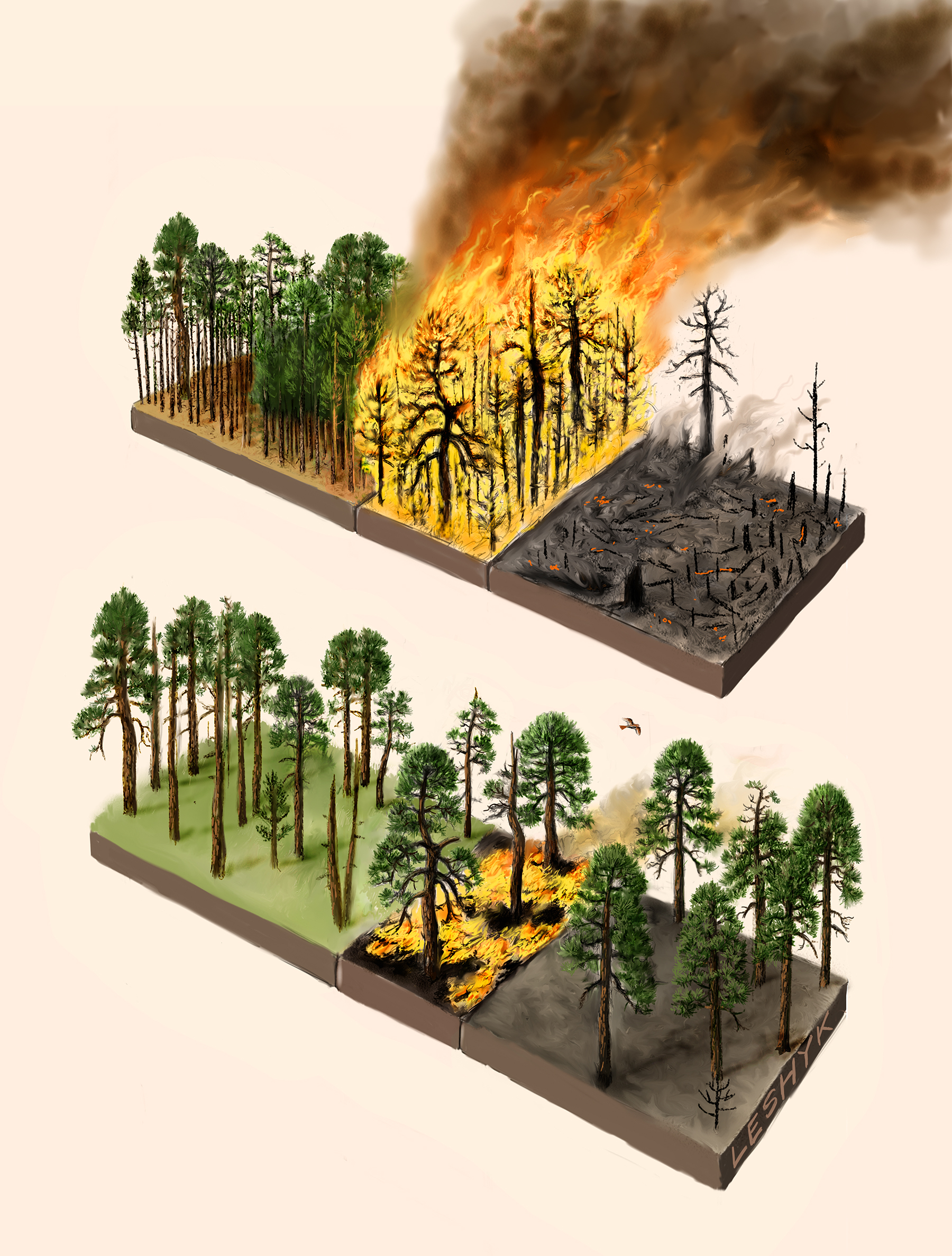
Longstanding land-management policies of complete wildfire suppression on wild lands were intended to prevent catastrophic wildfires through constant human monitoring and intervention.  However, when combined with policies that prohibit logging or thinning in protected areas, total fire suppression can lead to giant conflagrations anyhow, as the buildup of fuel materials […]

An empirical spatiotemporal description of the global surface-atmosphere carbon fluxes: opportunities and data limitations

Understanding the global carbon (C) cycle is of crucial importance to map current and future climate dynamics relative to global environmental change. A full characterization of C cycling requires detailed information on spatiotemporal patterns of surface-atmosphere fluxes. However, relevant C cycle observations are highly variable in their coverage and reporting […]

DECADAL TRENDS IN THE SEASONAL-CYCLE AMPLITUDE OF TERRESTRIAL CO2 EXCHANGE RESULTING FROM THE ENSEMBLE OF TERRESTRIAL BIOSPHERE MODELS

The seasonal-cycle amplitude (SCA) of the atmosphere–ecosystem carbon dioxide (CO2) exchange rate is a useful metric of the responsiveness of the terrestrial biosphere to environmental variations. It is unclear, however, what underlying mechanisms are responsible for the observed increasing trend of SCA in atmospheric CO2 concentration. Using output data from […]